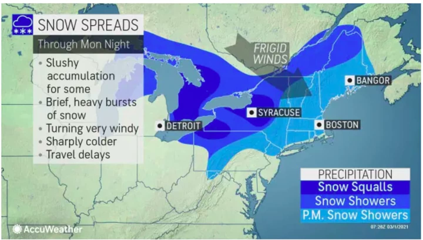
Two days of on and off rain will end late Monday morning, March 1, followed by an Arctic cold front that will push through the region, bringing strong, gusty winds, brutal wind chill, and a chance for snow showers and squalls.
A Wind Advisory has been issued for most of the region from 4 p.m. Monday into 6 a.m. Tuesday, March 2.
During that time, winds will be out of the northwest at 15 to 30 miles per hour with gusts up 50 mph.
"Gusty winds could blow around unsecured objects," the National Weather Service said in a statement issued Monday morning. "Tree limbs could be blown down and a few power outages may result.
"Due to snowmelt and recent rainfall some tree root systems may be somewhat compromised potentially leading to some uprooted trees."
It will remain cloudy Monday after rain winds down by around midday. The high temperature will be in the mid 40s before temperatures nosedive as the cold front arrives.
There is a chance for snow showers, and snow squalls farther north and inland, after nightfall Monday before skies begin to clear later in the evening.
The overnight low will fall to the teens with wind-chill values between zero and 10 degrees.
Tuesday, March 2 will be sunny, blustery, and brisk, with a high temperature around 30 degrees and wind-chill values between zero and 10 degrees, with wind speed between 15 to 20 mph, with gusts as high as 35 mph.
Check back to Daily Voice for updates.
Click here to follow Daily Voice Rivertowns and receive free news updates.