Dry weather will linger from Wednesday, Dec. 28 through Friday, Dec. 30 as temperatures warm into the 50s by the end of the work week, according to the National Weather Service.
The gradual warm-up will become evident on Thursday, Dec. 29, as the high temperature climbs into the mid 40s, with sunny skies, and, importantly, calm winds.
The next rainmaker will arrive on New Year's Eve on Saturday, Dec. 31, as a frontal system will trigger the precipitation. As of now, snow is not expected since temperatures should be well above freezing.
"Temperatures could be in the upper 40s and lower 50s for New Year's Eve revelers at Times Square," according to AccuWeather.com.
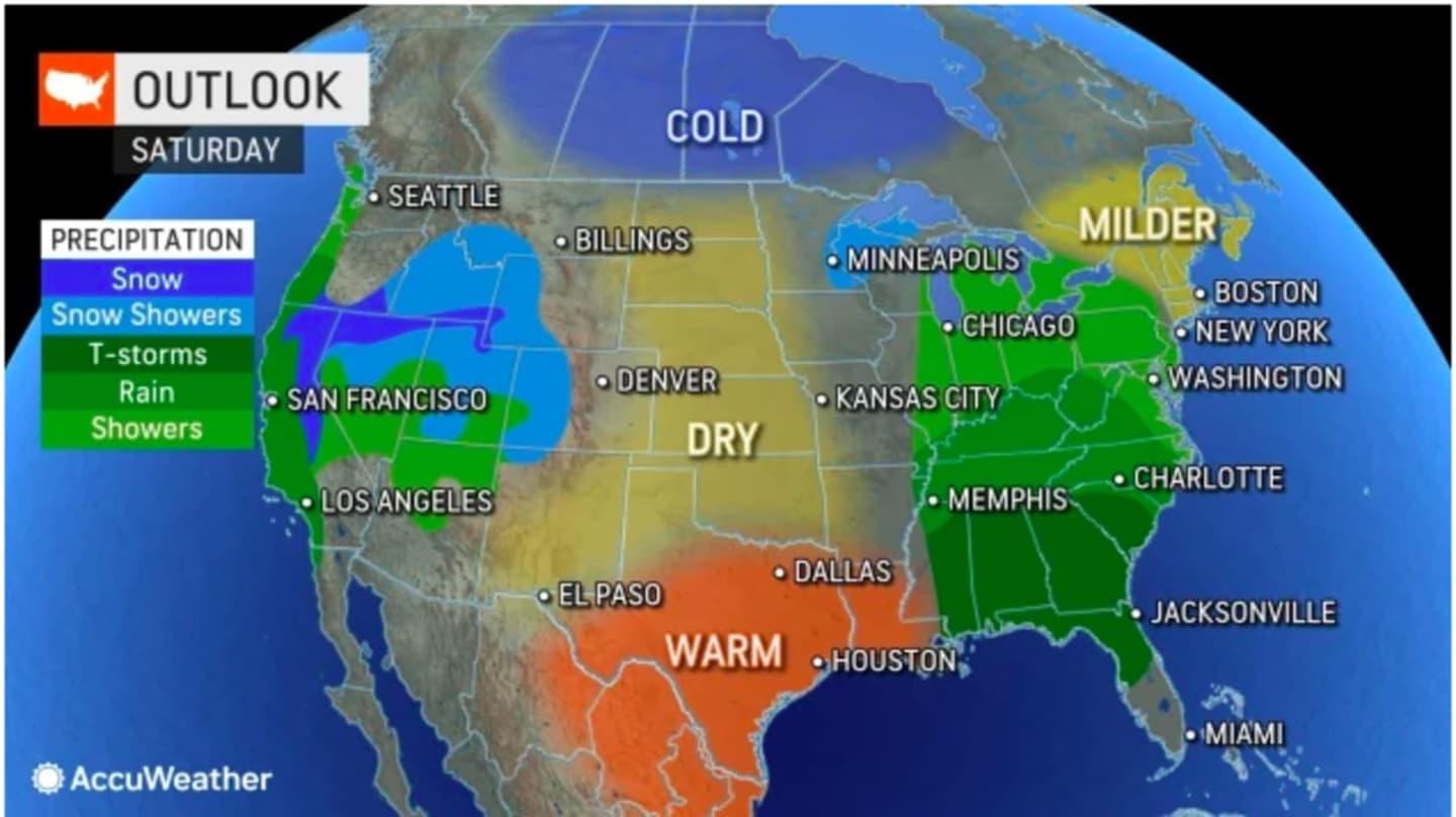
The current projected timing and track of the system calls for a chance for morning showers Saturday, with rain becoming likely in the afternoon and continuing at times through the evening, including during the ball drop in Times Square. (See the first image above from AccuWeather.com.)
Showers are then expected to linger into about midday on New Year's Day, Sunday, Jan. 1.
Sunday's high temperature is expected to top off in the mid to upper 50s in most of the region, and could even hit 60 degrees in some spots farthest south, the National Weather Service says.
Check back to Daily Voice for updates.
Click here to follow Daily Voice Ramapo and receive free news updates.