The storm chance will start late in the morning on Friday, Aug. 26, before showers and storms are expected during the afternoon into the evening, the National Weather Service said.
Some of the storms "may trigger isolated to scattered strong to severe thunderstorms and locally heavy rainfall," the weather service said.
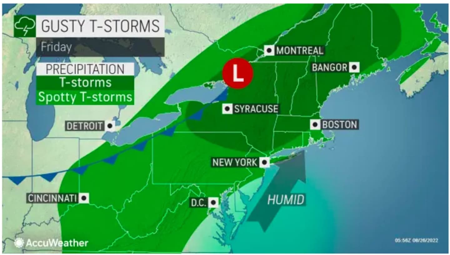
Gusty winds are expected to accompany any strong to severe storms.
"The thunderstorms will break out across portions of the Northeast on Friday afternoon as a front dividing warm and humid air to the east from slightly cooler and less humid air to the west approaches," according to AccuWeather Senior Meteorologist Brett Anderson.
The high temperature Friday will be in the upper 80s.
The chance for storms and showers from the system will last into late Friday night.
The outlook for Saturday, Aug. 27 calls for sunny skies and more comfortable conditions, with a high temperature in the low to mid 80s. There will be a slight chance of afternoon showers and thunderstorms.
Sunday, Aug. 28 will be mostly sunny with a high temperature in the low 80s.
Check back to Daily Voice for updates.
Click here to follow Daily Voice Nassau and receive free news updates.