Some of the storms could have frequent lightning, thunder and damaging wind gusts that may bring down trees, tree limbs and utility lines, leading to power outages power outages
Up to a half-inch of precipitation is possible.
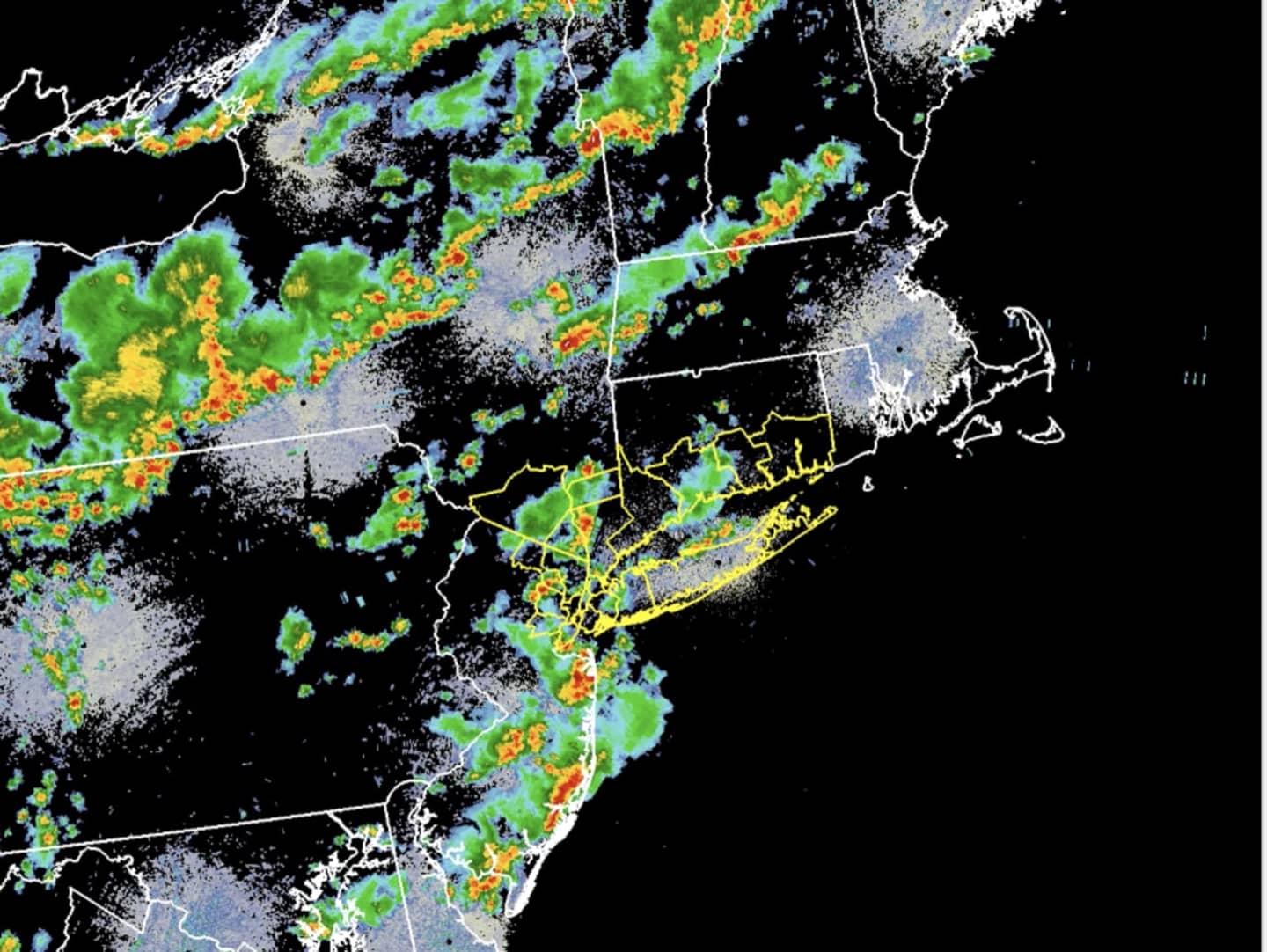
The storms, which first popped up around noontime, are being energized by a humid air mass. They are continuing to move across parts of the area, with more storms off to the west. (See image above.)
Storm activity will continue into Saturday evening, ahead of a cold front.
Sunday, July 7 will be partly sunny with a high temperature in the low 80s and less humidity. There will be a slight chance of showers between 9 a.m. and noon.
Monday, July 8 will be mostly sunny and pleasant with a high near 82.
Check back to Daily Voice for updates.
Click here to follow Daily Voice Nassau and receive free news updates.