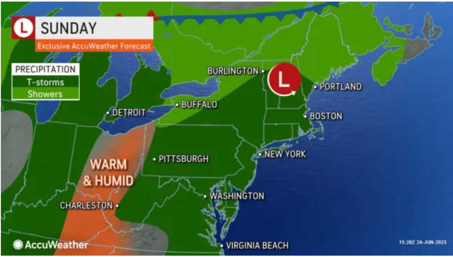
Sunday, June 25 won't be quite as rainy as Saturday, and, in fact, there will be peeks of sun at times following a morning in which there have been areas of dense fog with scattered showers.
The spotty sunshine will help the high temperature climb into the low 80s amid warm and muggy conditions, according to the National Weather Service.
But isolated showers and storms are possible anytime during the day and evening Sunday.
A new round of severe storms is expected for much of the area on Monday, June 26, with isolated tornadoes, hail, and damaging winds gusts of 60 miles per hour or more possible, especially in areas farthest south in the region.
Hail could be around 1 inch in diameter, the National Weather Service said in a Hazardous Weather Statement issued on Sunday morning.
The high temperature will be around 80 degrees. Up to a half-inch to nearly an inch of rainfall is possible on Monday.
Tuesday, June 27 will see more showers, with a possible isolated thunderstorm, and a high temperature in the mid-70s. About a half-inch of rainfall is possible.
Storms could return overnight into Wednesday morning, June 28, and then again in the mid-afternoon into early evening.
Some of the storms could produce heavy rainfall.
The high temperature will generally be in the upper 70s.
Skies will. be partly sunny at times on Thursday, June 29 with about a 50-50 chance of more showers and a high temperature in the upper 70s.
Check back to Daily Voice for updates.
Click here to follow Daily Voice Massapequa and receive free news updates.