
The warm front is due to arrive around midday on Thursday, Feb. 9, which will be mostly cloudy throughout the day with a high temperature ranging from the upper 40s to around 50 degrees, according to the National Weather Service.
There will be rain at times during the afternoon and into the evening on Thursday, with wind gusts up to around 20 miles per hour, increasing in speed overnight to around 30 mph.
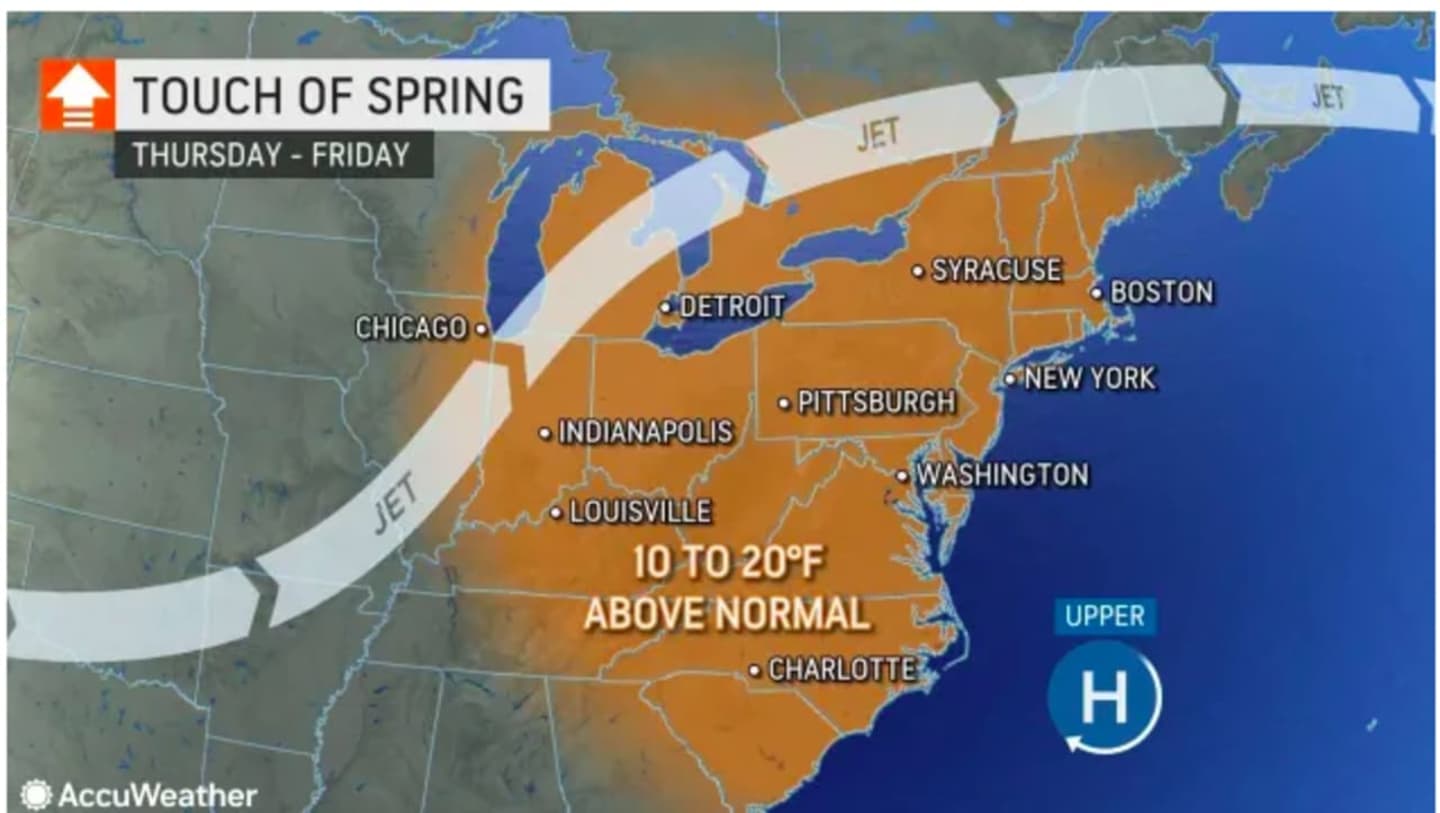
Friday, Feb. 10 will have a spring-like feel with high temperatures climbing into the mid 50s on a breezy day. (See the image above from AccuWeather.com.)
Skies will be mostly sunny and breezy with wind speeds in the teens and gusts up to around 25 to 30 mph during the day on Friday.
Temperatures will be more seasonable on Saturday, Feb. 11 with a high temperature in the low to mid 40s with a mix of sun and clouds.
The more significant storm system headed from west to east is now projected to affect states in the mid-Atlantic Saturday into Sunday, Feb. 12, bringing a mix of snow, sleet, and rain. (See the second image above.)
Check back to Daily Voice for updates.
Click here to follow Daily Voice Nassau and receive free news updates.