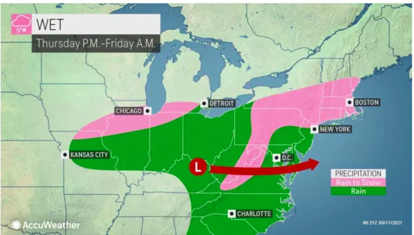
A total of 1.5 to 2 inches of liquid equivalent, mainly in the form of rain, is expected across the region as a storm system passes through in the next 24 hours or so, according to the National Weather Service.
Sleet may briefly mix in before a changeover to all snow late in the evening on Thursday, March 18.
Rain will arrive from west to east around noontime Thursday, which will be cloudy with a high temperature in the upper 40s. Rain will be heavy at times late in the afternoon and at night.
Overnight into Friday, March 19, as the temperature drops to the upper 20s to around 30 degrees, the rain will change to sleet and light snow, with the potential for a coating to an inch of snowfall and between 1 and 2 inches of rainfall.
The best chance for accumulating snow is in areas farthest north.
Precipitation will wind down around mid-morning on Friday, with gradual clearing followed by mostly sunny skies in the afternoon and a high temperature in the upper 30s.
Then comes a big change in the weather pattern starting, also fittingly, on the first day of spring on Saturday, March 20, which will usher in a stretch of milder temperatures, and a picture-perfect weekend.
Saturday and Sunday, March 21 will both be sunny days with a high temperature around 50 degrees on Saturday and close to the mid 50s on Sunday.
Check back. to Daily Voice for updates.
Click here to follow Daily Voice Mount Pleasant and receive free news updates.