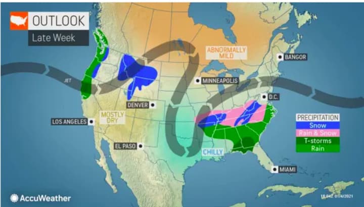
But soon after that, we could see an Arctic blast that may lead to a big winter storm.
"Enjoy the 'warmth' while it lasts, because Old Man Winter is looking to return with a vengeance," AccuWeather Senior Meteorologist Brett Anderson said.
AccuWeather Senior and Lead Long-Range Meteorologist Paul Pastelok, meanwhile, noted that "Many of the chips are beginning to line up to suggest we will see a shift of the polar vortex and an Arctic invasion across the central and eastern US and Canada toward the end of the month.
"The pattern also looks favorable for the bitter Arctic blast to be ushered in by a big storm somewhere in the eastern US."
While we could see a big change later this month, the rest of this week will be precipitation-free.
Here's the five-day forecast:
Wednesday, Jan. 6: Mostly sunny, with the high temperature near 40 degrees, but wind-chill values between 20 and 30 degrees with winds out of the northwest between 10 and 15 miles per hour. Skies will be clear overnight with the low in the mid 20s and wind-chill values between 20 and 25 degrees.
Thursday, Jan. 7: Sunny, with a high temperature around 40 degrees, It will be mostly clear overnight with the low temperature in the mid 20s.
Friday, Jan. 8: Mostly sunny with a high temperature in the upper 30s. It will be mostly cloudy overnight with a low temperature in the mid 20s.
Saturday, Jan. 9: Mostly sunny, with a high temperature in the mid 30s.
Sunday, Jan. 10: Sunny with a high temperature in the mid 30s.
Check back to Daily Voice for updates.
Click here to follow Daily Voice East Dutchess and receive free news updates.


