But it won't long before a new storm system arrives in the region, the time frame for which is Thursday morning, June 3 until early Friday evening, June 4.
There will be a mix of sun and clouds on Wednesday, June 2 with a high temperature in the mid 70s.
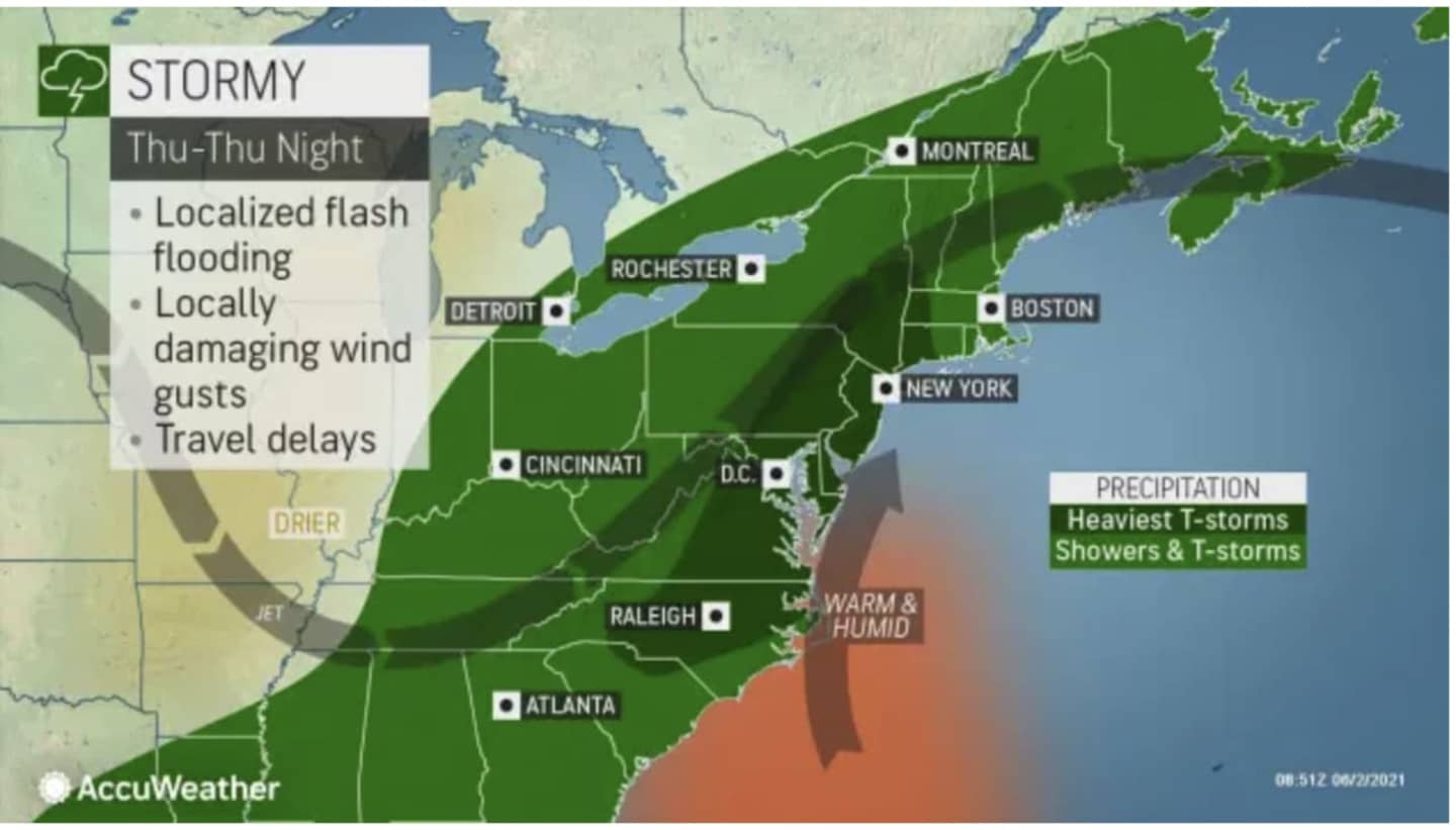
Some of the storms could produce heavy rain and gusty winds, especially in the areas shown in dark green in the image above.
Local flooding and strong wind gusts are possible.
The high temperature will be in the mid to upper 60s Thursday.
Precipitation will continue at times during the afternoon and evening, along with the storm chance.
Between a half-inch and an inch of rainfall is possible during the day and evening Thursday.
More showers are likely on Friday, June 4, which will be a mostly cloudy day with a high temperature in the mid 70s. There could be more scattered thunderstorms, mainly from mid-morning to mid-afternoon.
Saturday, June 5 will be mostly sunny and warmer, with the high temperature in the mid 80s.
Check back to Daily Voice for updates.
Click here to follow Daily Voice Eastchester and receive free news updates.