
A strong area of high pressure will cause the jet stream to move into Canada, a position normally reserved for summer, according to AccuWeather.
As a result, we'll see an unseasonably warm weather pattern that will result in the spring fling into next week.
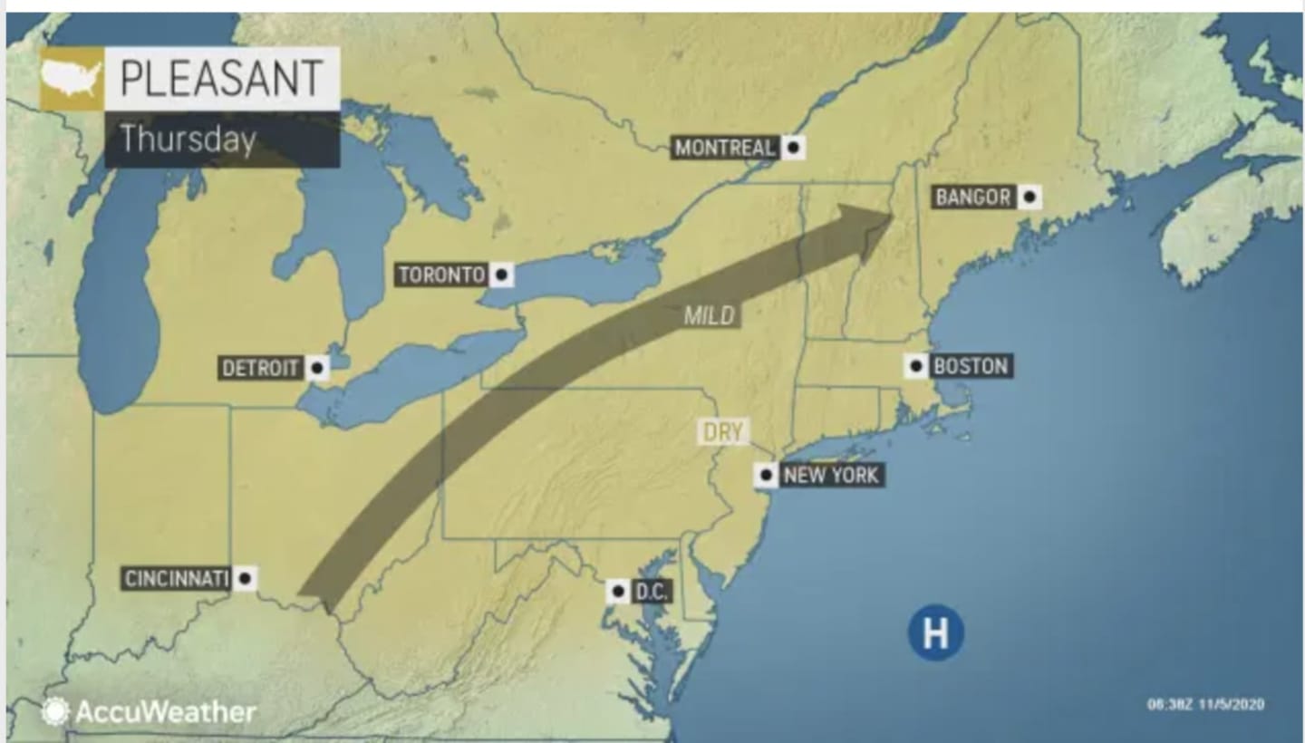
Here's a day-by-day look at what to expect.
Thursday, Nov. 5: Mostly sunny with calm wind and high temperature in the mid 60s. It will be mostly cloudy with patchy fog overnight and a low temperature in the 50s.
Friday, Nov. 6: The patchy fog will remain until around 9 a.m., followed by mostly cloudy skies through late morning, and then gradual clearing. The high temperature will again be in the mid 60s. It will be clear overnight with the low temperature in the upper 40s.
Saturday, Nov. 7: Sunny with a high temperature in the mid to upper 60s. Clear skies continue overnight with the high temperature in the upper 40s.
Sunday, Nov. 8: Sunny with a high temperature in the mid 60s. It will be mostly clear overnight with a low temperature around 50 degrees.
Monday, Nov. 9: The dry stretch continues with sunny skies and a high temperature in the mid 60s.
Check back to Daily Voice for updates.
Click here to follow Daily Voice Clarkstown and receive free news updates.