Sunday, Jan. 23 will become partly sunny with a high around 30 degrees and the wind-chill factor making it feel like it's between 10 and 20 degrees.
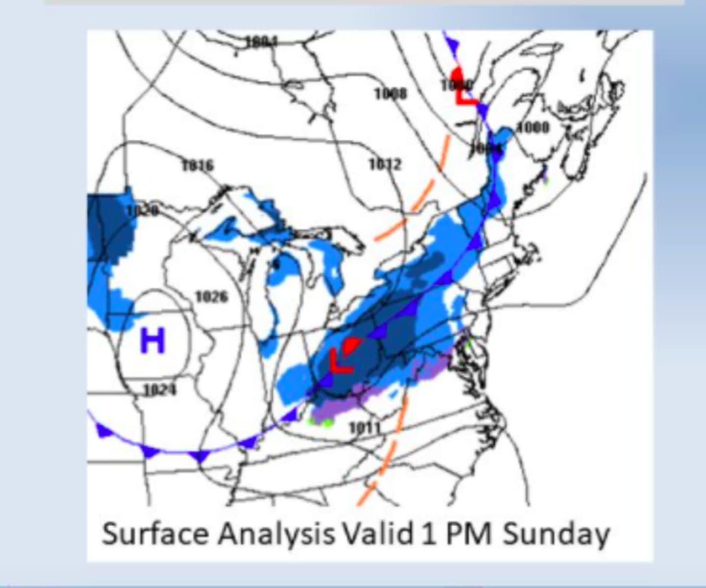
Scattered flurries and snow showers are now expected to move through the region later in the afternoon Sunday into the early overnight hours on Monday, Jan. 24 with the arrival of a cold front.
A quick coating is possible, according to the National Weather Service. Areas in upstate New York and New England could see up to an inch of accumulation.
Monday, Jan. 24 will be mostly sunny with a high temperature near 30 degrees and wind-chill values between 10 and 20 degrees.
Clouds will thicken after sunset and there will be a chance for snow late Monday evening.
Snow will be possible once again in the morning on Tuesday, Jan. 25 into early Tuesday afternoon, followed by a chance of a mix of rain and snow in the mid to late afternoon as the high temperature reaches the mid 30s.
The outlook for Wednesday, Jan. 26 calls for sunny skies with a high temperature in the mid 20s.
Check back to Daily Voice for updates.
Click here to follow Daily Voice Armonk and receive free news updates.