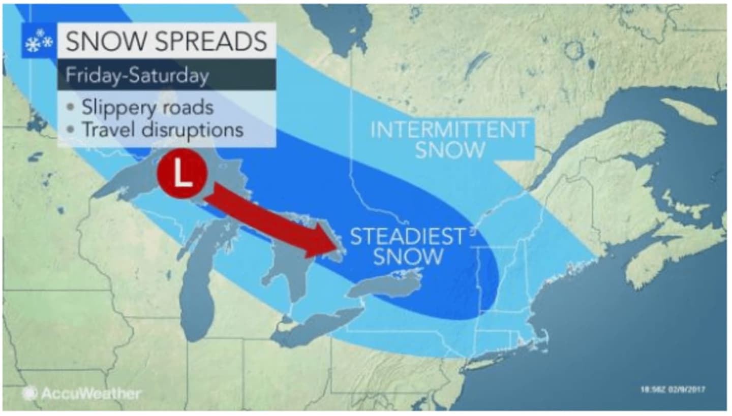
As area residents dig out from Thursday's snowstorm, they should be bracing for a one-two punch as another round of snow heads to the area by late Friday, followed by a second arctic front on Sunday bringing a chance of rain and snow showers, according to AccuWeather.com.
There is a chance of snow showers by late Friday afternoon that could dump an inch or more of snow as they carry over into Saturday morning, according to the National Weather Service.
The new snow will also bring new dangers to already slick roadways making for slippery, icy travel, said AccuWeather.com.
As the snow moves out on Saturday, residents should take the time to re-stock for Sunday. But the good news for Hudson Valley residents is the brunt of the storm will mainly affect New England, where blizzard-like conditions are expected. Parts of this area closer to the coast may see mainly freezing rain and sleet, AccuWeather said. Areas north of I-287 could see about a half-inch of accumulation.
Should the storm strengthen to its full potential, travel will be dangerous on roadways with major airline delays and cancellations expected in the Boston area and much of New England.
Check with Daily Voice for updates.
Click here to follow Daily Voice Armonk and receive free news updates.