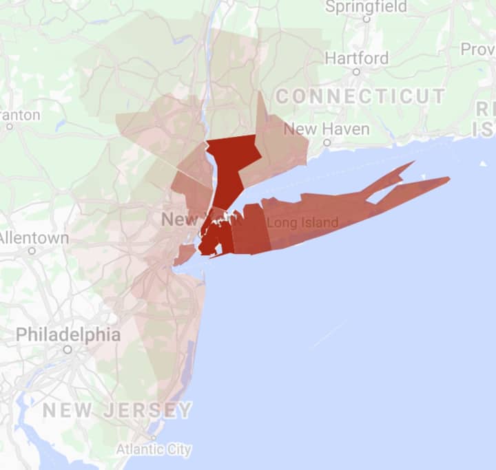
Bookmark this page and check back here for ongoing updates.
Sources:
- https://www1.nyc.gov/site/doh/health/health-topics/coronavirus.page
- https://coronavirus.health.ny.gov/county-county-breakdown-positive-cases
- https://www.nj.gov/health/cd/topics/covid2019_dashboard.shtml On April 26, 2021, New Jersey implemented an automated method to remove duplicate case reports, leading to a one-time drop of 10,442 confirmed cases from the total confirmed cumulative COVID-19 cases.
- https://portal.ct.gov/coronavirus
- https://www.mass.gov/info-details/covid-19-response-reporting#covid-19-daily-dashboard-
- https://www.health.pa.gov/topics/disease/coronavirus/Pages/Coronavirus.aspx
- https://carlsonschool.umn.edu/mili-misrc-covid19-tracking-project (Note: Data reflects reporting for May 7, to May 13, 2021. If the field is blank, that means there was no information on ICU beds available for that county.)
Click here to follow Daily Voice Morris and receive free news updates.


