The National Weather Service has put a winter weather advisory into place until Tuesday, Feb. 2, at 4 p.m. Before the late afternoon, people can expect to see light snow showers and pockets of freezing drizzle. A glaze of ice developing on top of the snow is possible. Wind gusts may reach as fast as 40 mph.
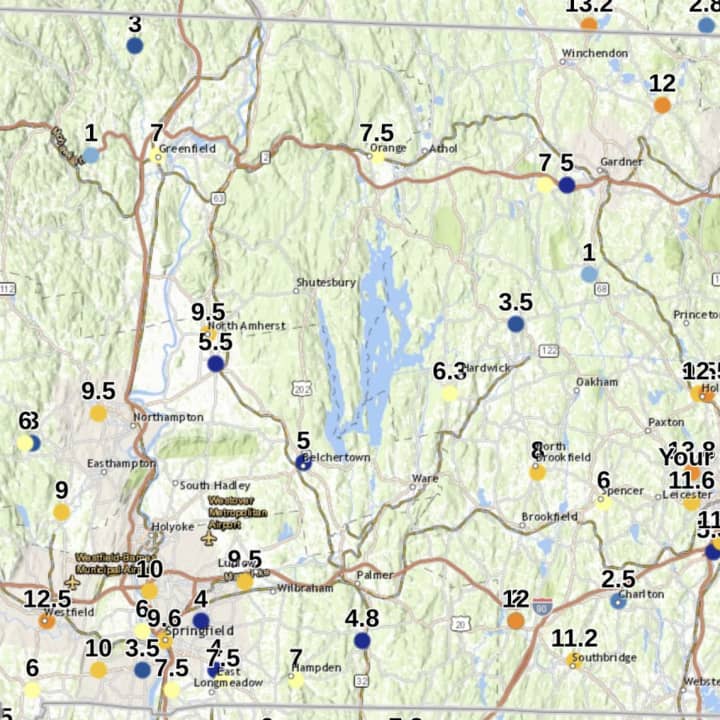
Below are snowfall totals from the Monday, Feb. 1 winter storm. The totals are reported as inches are as of 8 a.m. Tuesday, Feb. 2:
- Acton 14.5
- Agawam 3.5
- Amherst 5.5
- East Hawley 17
- Greenfield 7
- Fitchburg 10.8
- Holden 9.5
- Longmeadow 7.5
- Monson 4.8
- North Adams 8.5
- Northampton 9.5
- Pittsfield9-10
- Richmond 14
- Spencer 6
- Springfield 9.6
- Stockbridge 11.5
- Westfield 12.5
- Westhampton 3
- Worcester 13.8-12.2
- Westborough 9.7
To see a full report of snowfall totals, visit the National Weather Service at weather.gov.
Click here to follow Daily Voice Worcester and receive free news updates.


