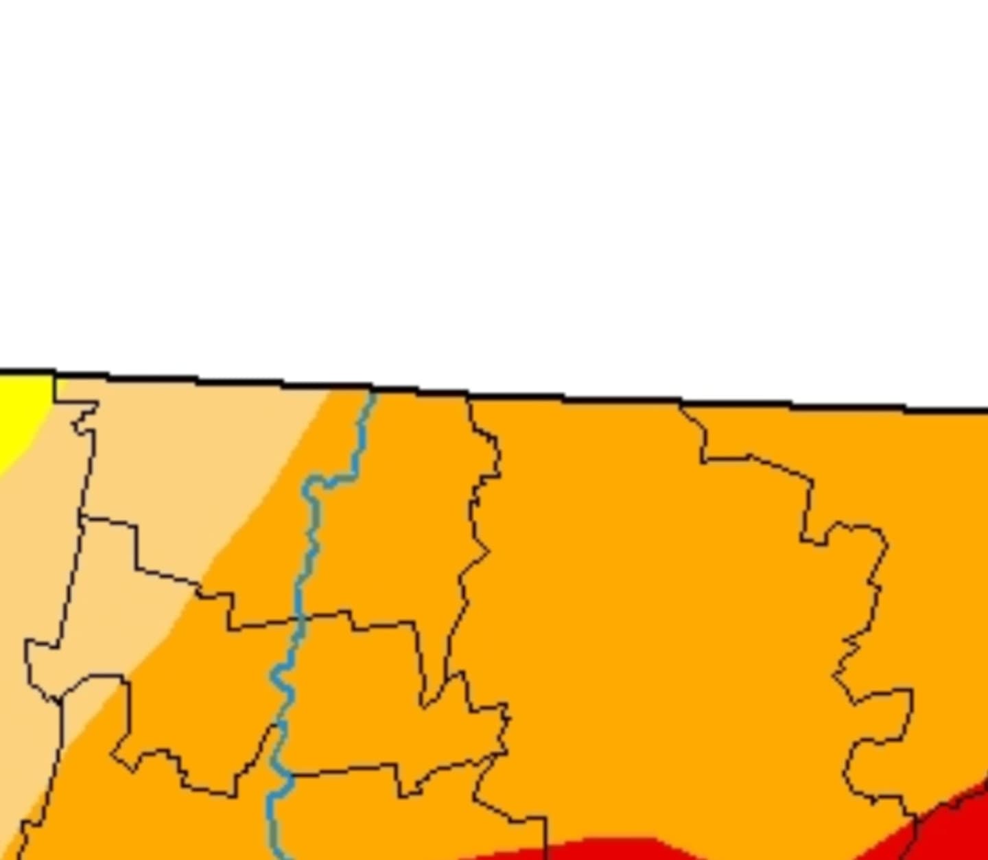


According to state data released Thursday, Oct.1, nearly 30 percent of the state is experiencing “extreme” drought - the second highest degree of drought tracked by the state. The worst degree of drought is “exceptional.”
The ranking goes, from least to most drought-like conditions, are None, Abnormallly Dry, Moderate Drought, Severe Drought, Extreme Drought, and Exceptional Drought.
In Western and Central Massachusetts, except for the most southernly parts, are in the "moderate to severe" drought range.
Communities experiencing extreme drought include Southwick, Westfield, East Longmeadow, Longmeadow, Hampden, Monsoon, Wales, Holland, Southbridge, Sturbridge, Dudley, Webster, Douglas, Uxbridge, Millville, Mendon, and Blackstone.
All of Massachusetts is in the state of being “abnormally dry,” the Massachusetts Drought Tracker.
The storm, while heavy, wasn't enough to change conditions. Here’s how much rain your town got during the Sept. 29-30 storm:
Chicopee - 1.26
Northampton 1.69
Easthampton 1.6
Springfield 1.34
Worcester 0.6
Fitchburg 0.56
Westfield - 1.44
Holyoke 1.17
Belchertown 1.48
Agawam 1.38
Click here to follow Daily Voice Worcester and receive free news updates.