Monday, Jan. 2 will be mostly cloudy with a high temperature in the low 50s -- between 15 and 20 degrees above average -- and calm winds.
The unsettled pattern will arrive on Tuesday, Jan. 3, and linger through the end of the work week, with rain, showers, and patchy fog at times during that stretch and daytime temperatures topping out in the 50s.
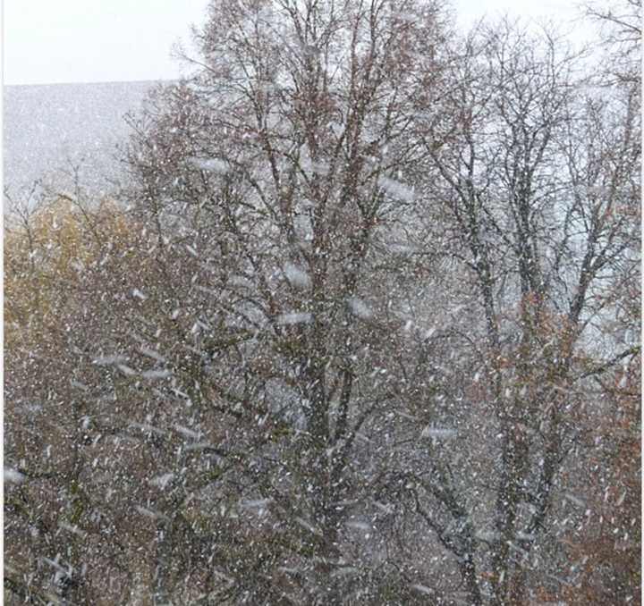
It will become noticeably colder overnight Thursday, Jan. 5 into Friday, Jan. 6, leading to a chance for snow in areas where the low temperature falls at or below the freezing mark.
The chance for snow will continue in those spots until around midday on Friday, followed by the possibility for a mix of rain in the afternoon, and then a mix of rain and snow as the temperature falls again during the evening.
It will remain cold on Saturday. Jan. 7, but there will be gradual clearing, leading to a mainly sunny day with a high temperature of around 40 degrees.
Check back to Daily Voice for updates.
Click here to follow Daily Voice Springfield and receive free news updates.
