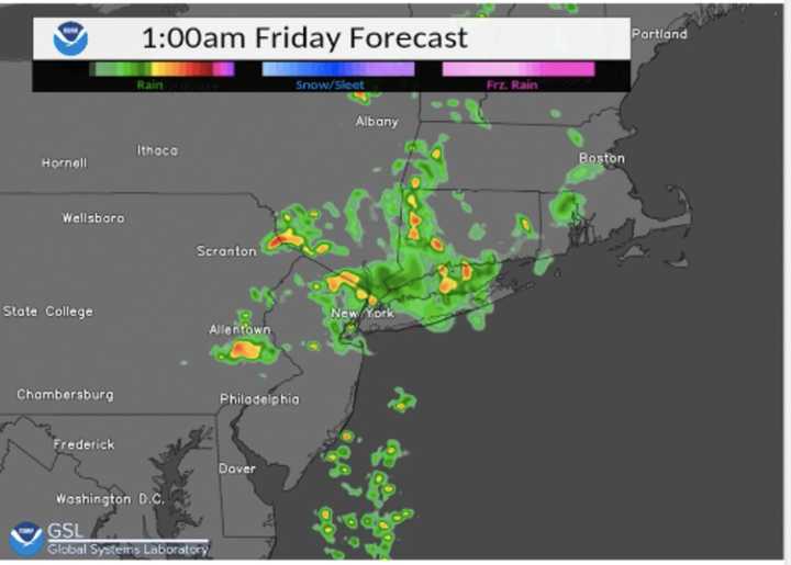
The first round is expected to start at around 11 p.m. Thursday, June 16 and continues until around 3 a.m., according to the National Weather Service. (See the first image above.)
Some of the storms could produce heavy rain.
The second round of scattered storms is expected between noon and 4 p.m. Friday, June 17 on what will be a warmer day with a high temperature in the mid 80s. Mostly cloudy skies will gradually become mostly sunny Friday, with more clearing overnight.
That will lead to a mostly sunny and cooler day on Saturday, June 18 with a high temperature in the mid 60s.
Check back to Daily Voice for updates.
Click here to follow Daily Voice Springfield and receive free news updates.

