After bands of heavy rain accompanied by gusty winds, skies will gradually clear Friday, Feb. 18, and the temperature will drop during the afternoon from a high in the mid to upper 50s to the mid 30s just before nightfall, with wind-chill values in the 20s.
It will be mostly clear overnight with wind-chill values in the teens.
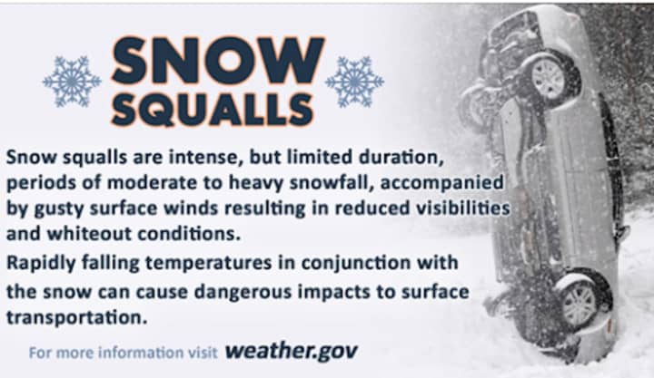
Saturday, Feb. 19 will be breezy with clouds increasing and a high temperature in the mid 30s before the chance for snow squalls starting at about noontime.
"A polar front will cross the region Saturday afternoon, with the potential for a line of snow showers and embedded snow squalls to affect the region with a brief burst of heavy snow, northwest winds gusts of 35 to 45 mph, and temps dropping towards freezing," the National Weather Service said in a Hazardous Weather Outlook statement issued Friday morning.
"Roads could become hazardous if this event materializes. Monitor subsequent forecast for the latest updates."
Some areas, especially farther north, could see about an inch of snowfall during the afternoon.
Saturday's high temperature will be in the mid to upper 30s with wind-chill values between 15 and 25 degrees, with wind speed increasing in the afternoon to around 20 miles per hour, with those stronger gusts of around 40 mph.
Skies will become mostly clear late Saturday night as the temperature falls to the upper teens with wind-chill values between 5 and 10 degrees.
Sunday, Feb. 20 will be sunny, with a high temperature in the low 30s.
Presidents' Day on Monday, Feb. 21 will be sunny with a high temperature reaching the mid to upper 40s.
Check back to Daily Voice for updates.
Click here to follow Daily Voice Wilton and receive free news updates.


