As the large, complex storm system pushes out, get set for a big change in the weather pattern.
Strong, gusty winds out of the west will lead to a drop in temperatures.
Here's the five-day forecast:
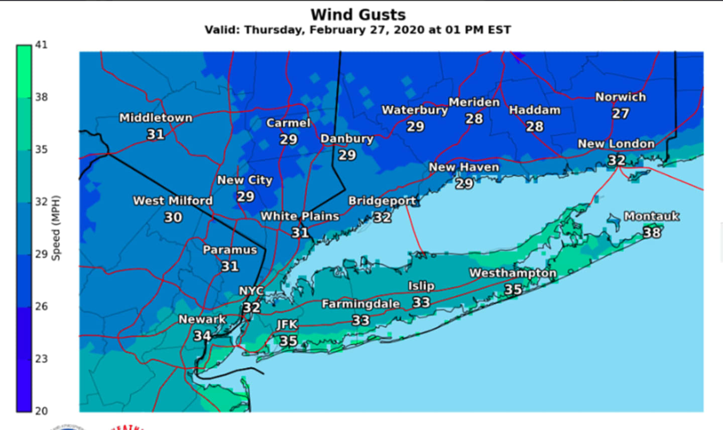
Thursday, Feb. 27: Rain will end from west to east in the morning and skies will gradually clear, with the sun breaking through by noontime.
The high temperature will be in the low to mid 40s, but will drop to the mid to upper 30s by late in the afternoon. Winds between 18 to 24 miles per hour with gusts as high as 38 mph will result in wind-chill values between 25 and 35 degrees.
The overnight low will drop to around 22 degrees with wind-chill values between 10 and 15 degrees.
Friday, Feb. 28: Mostly sunny with a high temperature in the upper 30s. Winds will again be strong and out of the west, between 14 to 18 mph, with gusts as high as 30 mph. The wind-chill factor will be between 15 and 25 degrees during the day and 15 to 20 degrees overnight when the temperature falls to the mid 20s.
Saturday, Feb. 29: Mostly sunny with the high temperature in the mid 30s. It will remain windy, with wind strength between 10 to 14 mph and gusts as high as 25 mph.
Overnight, the low temperature will be between 20 and 22 degrees.
Sunday, March 1: It will be mostly sunny and continued cold with the high temperature again in the mid 30s.
Monday, March 2: It will be a bit warmer with the high temperature in the low 40s. After a mostly sunny morning and afternoon, the dry stretch will end overnight as clouds roll in before rain arrives.
Check back to Daily Voice for updates.
Click here to follow Daily Voice Wilton and receive free news updates.