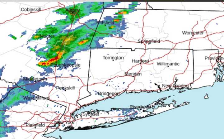
Storm activity first began in areas west of the Hudson River in the early afternoon on Friday, July 7.
Most of the severe storms from the system are farther inland, especially north of Interstate 84. (A radar image of the region at about 4 p.m. is shown in the image above.)
But storm activity is expected to become more widespread late Friday afternoon into the middle of the evening.
A widespread, more significant storm is predicted for Sunday, July 9.
Between 2 and 3 inches of rainfall is expected with flooding possible.
Check back to Daily Voice for updates.
Click here to follow Daily Voice Wilton and receive free news updates.
