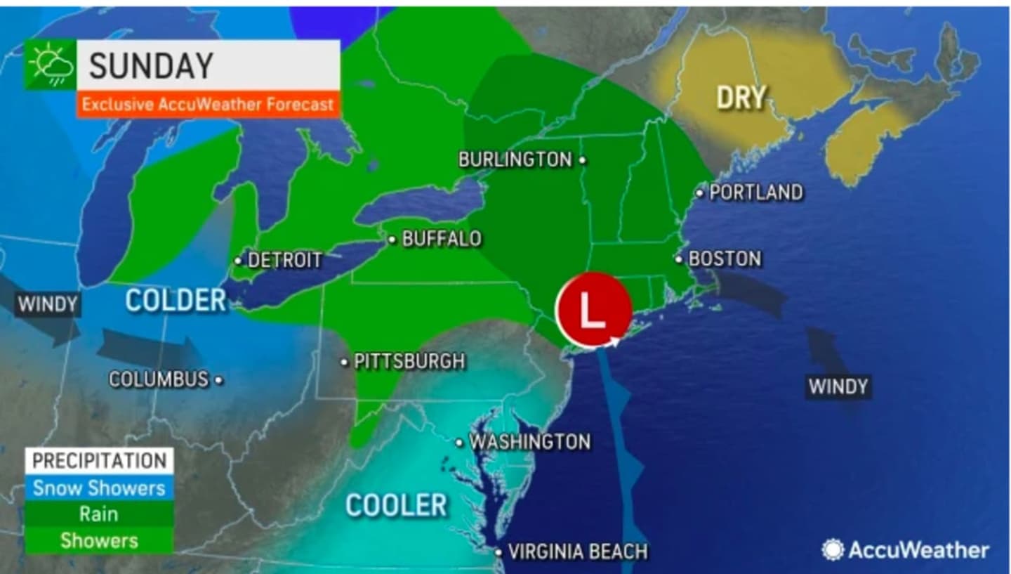
Widespread rain and showers are expected Sunday morning, April 23 with the chance for more precipitation at times during the afternoon, though most of the heavy rain should wind down by about midday Sunday. The high temperature will be in the low 60s.
"We dry out toward evening," the National Weather Service said in a statement early Sunday, noting that isolated showers are possible after dark.
Widespread showers and isolated thunderstorms gradually moved in from west to east during the evening on Saturday, April 22.
In some spots, including Sullivan County in the Catskills, a tornado warning was issued early Saturday evening.
New rainfall amounts between an inch and 2 inches are possible for the entire weekend.
Skies will gradually become partly sunny Monday, April 24 although there will remain a slight chance for spotty showers in the morning and early afternoon.
It will be cooler with a high temperature in the mid to upper 50s.
The outlook for Tuesday, April 25 calls for partly sunny skies with a high temperature in the upper 50s.
Wednesday, April 26 will be mostly sunny with a high near 60 degrees.
Check back to Daily Voice for updates.
Click here to follow Daily Voice Wilton and receive free news updates.