The changeover will happen sometime around 1 p.m. on Tuesday, Nov. 12. Generally, a coating to an inch of snowfall is possible before precipitation ends by 3 p.m. and skies become partly cloudy.
Here's the latest five-day forecast:
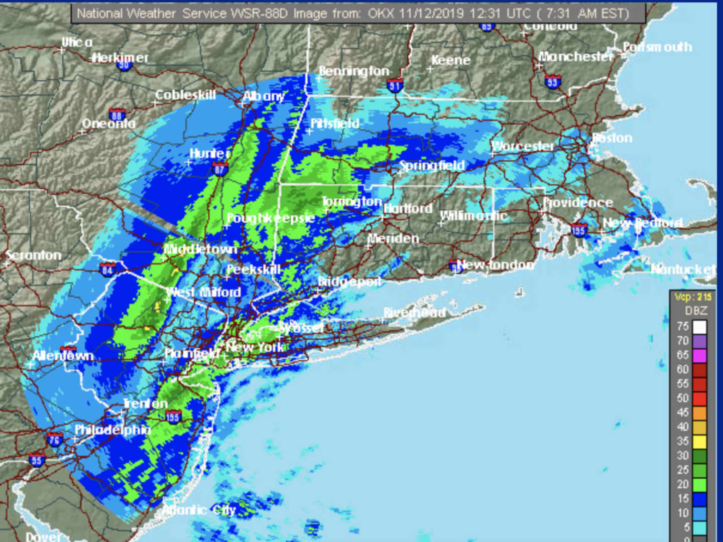
Tuesday, Nov. 12: Rain will mix with snow early in the afternoon as temperatures drop during the day to around the freezing mark from a morning high temperature in the upper 40s. Winds will be between 10 and 14 miles per hour.
The overnight low temperature will be in the upper teens with wind-chill values between 10 and 15 degrees.
Wednesday, Nov. 13: The passage of the storm system will result in a new cold snap. Wednesday will be mostly sunny and with a high temperature struggling to hit the freezing mark. The wind-chill factor will be in the teens with wind out of the northwest at 9 to 14 mph, with gusts as high as 25 mph.
The overnight low temperature will be in the low to mid 20s.
Thursday, Nov. 14: Partly sunny and a bit warmer with the high temperature around 40 degrees.
The overnight low temperature will be around the freezing mark.
Friday, Nov. 15: Sunny and again warmer with the high temperature in the mid to upper 40s.
Saturday, Nov. 16: Sunny and colder with a high temperature in the mid 30s.
Check back to Daily Voice for updates.
Click here to follow Daily Voice Westport and receive free news updates.