

The National Weather Service made the determinations late Friday night, Aug. 28 after surveying damage during the day.
Hudson Valley Tornado
The twister in the Hudson Valley happened just after 6:15 p.m. Thursday in Orange County in Montgomery in the area of Old Nealytown Road, according to the weather service.
It was an Enhanced Fujita Scale (EF) 1 twister with 90 mph winds and a maximum path width of 600 yards and path length of 2.6 miles near the Wallkill River.
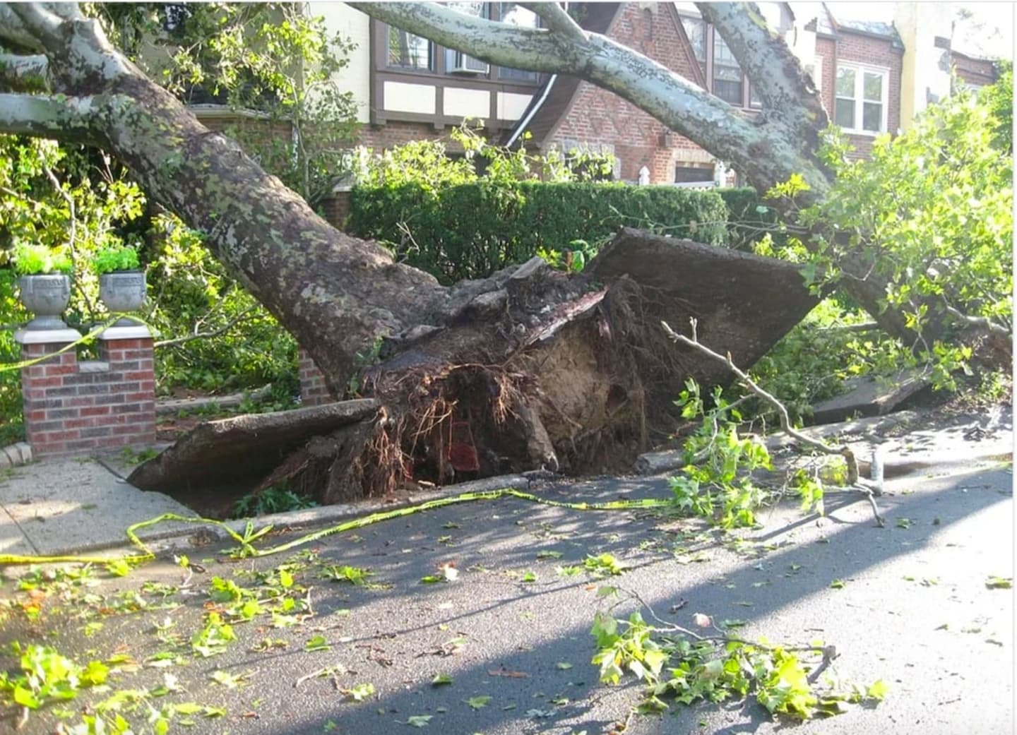
The bulk of the damage was large snapped and uprooted trees.
No injuries were reported.
The tornado moved east from near the river into Montgomery, where damage was extensive along Weaver Street and Chandler Lane.
Tree damage was observed. at the intersection of Route 111 and Canning Road, as well as minor structural damage.
Connecticut Tornado
The tornado in Connecticut, also an EF-1 twister, happened n New Haven County.
It touched down in Bethany near Judd Hill Road just before 4 p.m. Thursday before moving through Hamden and into North Haven with 110 mph winds.
It had a maximum path width of 500 yards and a path length of 11.1 miles.
It resulted in structural damage, including significant roof damage to several homes, and snapped hardwood trees.
No injuries were reported.
Multiple microbursts affected East Haven, Branford, North Branford, Guilford and North Haven in Connecticut.
Enhanced Fujita Scale classifies tornadoes into five categories:
- EF0 - Weak, winds of 65 to 85 mph
- EF1 - Weak, winds of 86 to 110 mph
- EF2 - Strong, winds of 111 to 135 mph
- EF3 - Strong, winds of 136 to 165 mph
- EF4 - Violent, winds. of 166 to 200 mph
- EF5 - Violent, winds of more than 200 mph
The remnants of Laura will bring showers, rain and the chance of thunderstorms at times throughout the day and evening to the region on Saturday, Aug. 29.
The high temperature will be in the upper 70s with high humidity.
Up to an inch of rainfall is possible before Laura moves up toward Maine on Sunday, Aug. 30.
Skies will clear on Sunday, which will be sunny and pleasant with the high temperature in the upper 70s.
After returning over the Atlantic, Laura could regain enough strength to ramp back up to tropical storm status before brushing part of Canada on Monday, Aug. 31.
Check back to Daily Voice for updates.
Click here to follow Daily Voice Stratford and receive free news updates.