But before that storm arrives, another system is expected to result in 1 to 3 inches of accumulation Thursday night, Jan. 17 into Friday morning, Jan. 18.
Tuesday, Jan. 15 and Wednesday, Jan. 16 will be again mostly sunny with a high in the mid-30s.
Thursday, Jan. 17 will be partly sunny but colder, with a high of only around 30 degrees.
Snow is expected to arrive after 10 p.m. Thursday and continue overnight before changing to a mix of rain, snow and freezing rain. Precipitation will end by around 10 a.m. Friday, Jan. 18.
The rest of the day will be cloudy with a high temperature climbing to around 40 degrees.
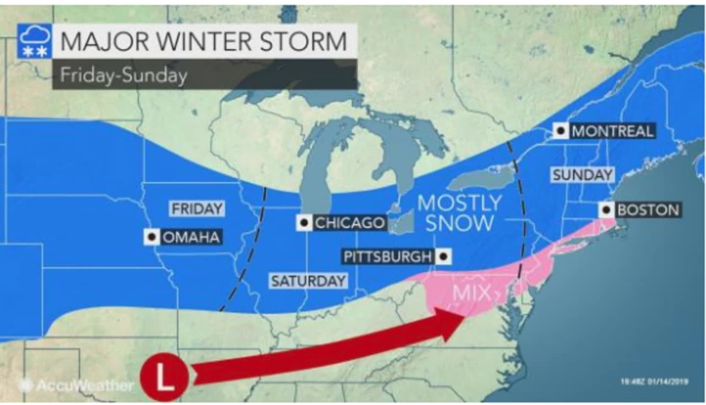
The major storm is expected to arrive after 4 p.m.on Saturday, Jan. 19 on a cloudy day with the high reaching the mid-30s.
Snow will mix with rain and sleet at times, and the storm could last 24 hours through Sunday night, Jan. 20, with the system wrapping up with evening snow showers.
Martin Luther King Jr. Day, Monday, Jan. 21, will be mostly sunny and frigid, with a high of only about 20 degrees.
There is still some uncertainty about the strength and exact track of the weekend storm.
This continues to be a developing story. Check back to Daily Voice for updates.
Click here to follow Daily Voice Stamford and receive free news updates.