Between three-quarters to 1.25 inches of rain is likely over the weekend, with slightly higher amounts anticipated for Long Island.
Temperatures will start out slightly above normal but trend cooler and closer to normal for the workweek.
Here's what to expect:
Friday, Jan. 3: Steady rain will begin to taper off later in the morning on a cloudy day with patchy fog at times in the afternoon and the temperature holding steady in the low 40s. A new round of rain is then expected overnight Friday, with the low temperature around 40.
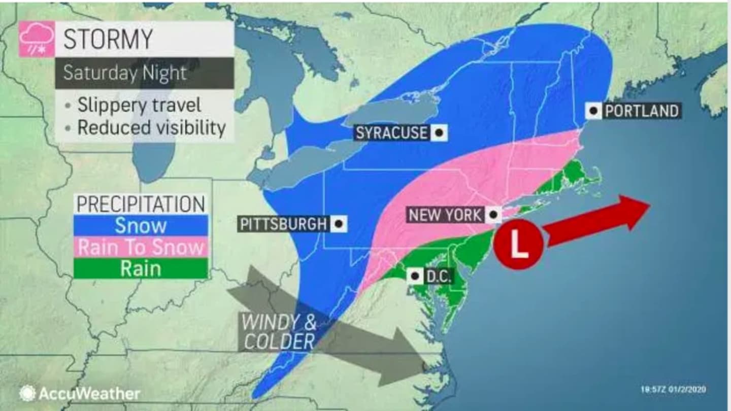
Saturday, Jan. 4: There will be periods of rain throughout the day and evening. The high temperature will be in the low 40s. Then a round of snow is expected overnight mainly north of I-287 in New York and the Merritt Parkway. An inch or less of accumulation is expected.
Sunday, Jan. 5: The storm will push off the coast as skies clear, leading to a partly cloudy, breezy and colder day with a high temperature in the mid to upper 30s. The overnight low will be in the upper 20s with mostly cloudy skies. Another round of light snow is possible overnight.
Monday, Jan. 6: Mostly sunny with a high temperature in the low 40s.
Tuesday, Jan. 7: It's too early to nail down now, but there is the potential for a more widespread snow event starting late Tuesday afternoon and Tuesday night into Wednesday, Jan. 8. Snow could arrive after 4 p.m. farther north and inland and in New York City and on Long Island after nightfall as the temperature drops from the low 40s to around the freezing mark overnight.
Check back to Daily Voice for updates.
Click here to follow Daily Voice Norwalk and receive free news updates.