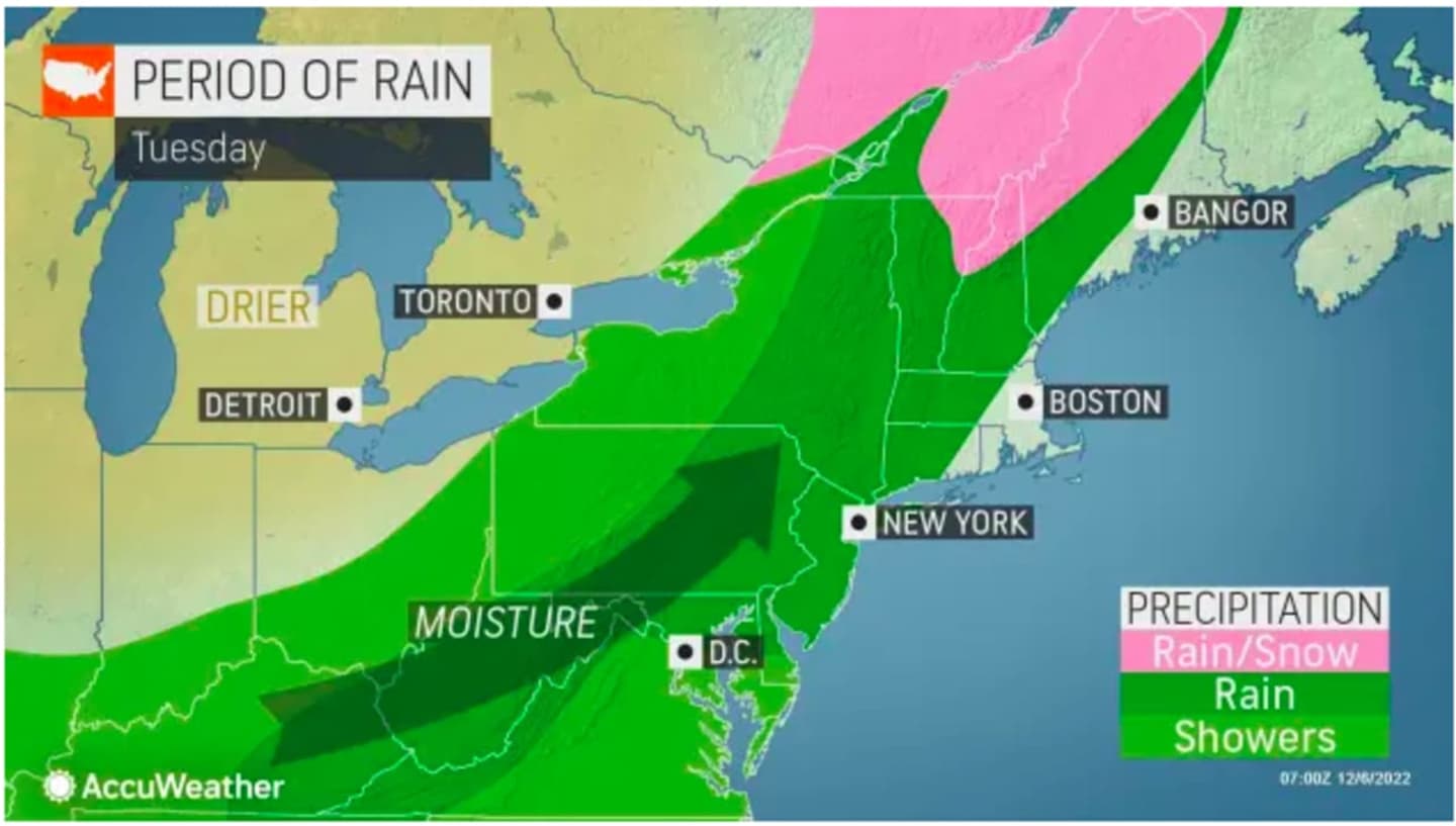
Rainfall will arrive from west to east after midday on Tuesday, Dec. 6, according to the National Weather Service.
Precipitation will gradually end from west to east Wednesday, Dec. 7, starting in the afternoon.
The front will lead to an increase in temperatures, with highs in the mid 50s on both Tuesday and Wednesday.
All told, about an inch-and-a-half of rainfall is expected from the system. Locally higher amounts of 2 inches or more are possible.
Skies will become partly sunny on Thursday, Dec. 8 with a high temperature in the low 50s.
Then a new storm system at the end of the week will move in from the Midwest after a mostly sunny start to the day on Friday, Dec. 9.
The window for rain followed by possible snowfall is overnight Friday into Saturday morning, Dec. 10, especially in inland areas.
"Depending on the track of the storm, and how far south the cold air reaches, temperatures in the (coastal) Northeast could be too warm for much in the way of snow," said AccuWeather Senior Meteorologist Dan Pydynowski.
After the system moves out by around noon Saturday, the rest of the day will be mostly cloudy with a high temperature of around 40 degrees.
Check back to Daily Voice for updates.
Click here to follow Daily Voice New Canaan and receive free news updates.