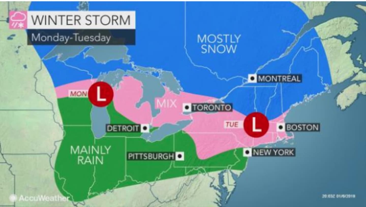
Originally predicted for Monday evening, Jan. 7, the storm system is now expected to arrive after midnight Tuesday, Jan. 8 and could cause slippery travel through Tuesday morning.
Clouds will increase on Monday, which will be cloudy and colder, with the high temperature struggling to hit the freezing mark. The wind-chill factor will make it feel like it's between 10 and 20 degrees.
The snow chance starts at midnight Tuesday. Snow, freezing rain and sleet are likely between 3 a.m. and 4 a.m. Tuesday, followed by a mix of rain and snow after 4 a.m. and continuing through noontime.
Because precipitation will be mixed, total accumulation should be no more than a half-inch to an inch.
As the temperature rises to a high in the mid-40s Tuesday, any remaining precipitation after noontime will be rain.
Wednesday will be mostly cloudy with a high in the low-40s with a chance of snow showers north of I-287 and the Merritt Parkway and rain showers farther south.
Check back to Daily Voice for updates.
Click here to follow Daily Voice New Canaan and receive free news updates.