The updated possible time frame for the start-of-spring storm is now Tuesday afternoon through early Thursday morning.
It’s still too early to project how much rain and snow the storm may bring, or what parts of the area would see rain, snow, or a wintry mix.
The first three Nor'easters, from March 2 through March 13, resulted in power outages to hundreds of thousands in the tristate area.
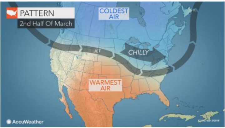
Below-average temperatures through the weekend and into next week will set the stage for the storm.
It will be sunny during the day through Monday, with a daytime high around 40 each day, but on Saturday, the wind-chill factor will be between 15 and 20 degrees.
There is still much uncertainty on the track and strength of next week's potential Nor'easter.
Check back to Daily Voice for updates.
Click here to follow Daily Voice Brookfield and receive free news updates.
