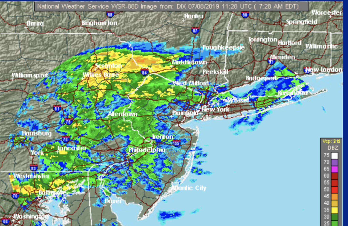
Rain and scattered showers are making for a wet morning commute in much of the region.
The chance for precipitation will continue until around noontime on Monday, July 8.
Clouds will then clear and it will gradually become mostly sunny in the afternoon with a high temperature around 80 degrees.
Then comes a rise in temperatures as it will get warmer on Tuesday, July 9 and Wednesday, July 10 with a high in the upper 80s and plenty of sunshine both days.
The next chance for rainfall comes on Thursday, July 11, which will be partly sunny with a high temperature around 85 degrees and an increase in humidity.
There is about a 50-50 chance of showers and thunderstorms starting after noontime and continuing through Thursday evening.
Thunderstorms are also possible on Friday, July 12, which will be partly sunny with a high at or near 85 degrees.
Check back to Daily Voice for updates.
Click here to follow Daily Voice Bridgeport and receive free news updates.